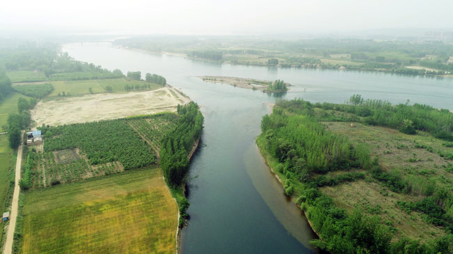
Exercise site
In order to continuously enhance the comprehensive ability of hydrological emergency monitoring of the Yellow River and prepare for the emergent water situation, the hydrological emergency monitoring drill of the Yellow River was held in Xixiayuan Reach of the Yellow River on May 16, 2019.
The simulation scenario of the drill is a barrier lake formed by a sudden landslide somewhere in a river. The barrier raises the water level and forms a submerged area, which seriously threatens the lives and property of the people upstream and downstream. According to the hydrological emergency forecasting plan, it is divided into three parts: hydrological monitoring, measurement and data processing of barrier lake and barrier body, and water regime transmission, including six subjects: section layout, water level observation, flow measurement, measurement and data processing of barrier lake, measurement and processing of barrier body, water regime transmission, etc. Compared with previous drills, this year, for the first time, many advanced high-tech instruments and equipment, such as UHF radar current measurement system, vertical takeoff and landing oil-electric hybrid fixed-wing UAV measurement system, have been successfully applied, and the data obtained have been compared, analyzed and transmitted.
The drill was carried out in strict accordance with the plan, making full use of existing hydrological testing equipment, organizing tightly and compactly, and scenario simulation meeting the actual requirements, further clarifying the post responsibilities and workflow, improving the level of emergency monitoring organization and command, on-site rapid monitoring and disposal, and verifying the applicability and operability of the plan. The drill teams are united and cooperative, cooperating with each other tacitly and orderly, which accumulates practical experience for dealing with emergencies quickly, orderly and efficiently. (Xiyan Autumn Song Haisong Dragon Tiger)

Exercise Mobilization
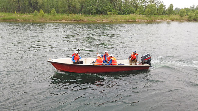
Flow Measurement Using a Velocimeter
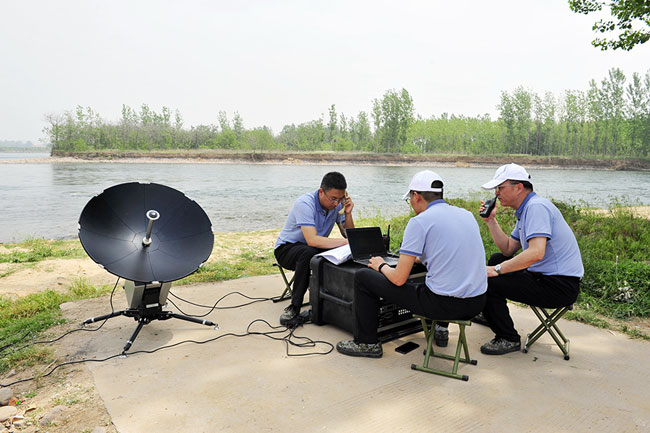
Using Portable Satellite Small Station Communication
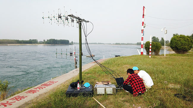
UHF Radar Current Measurement System
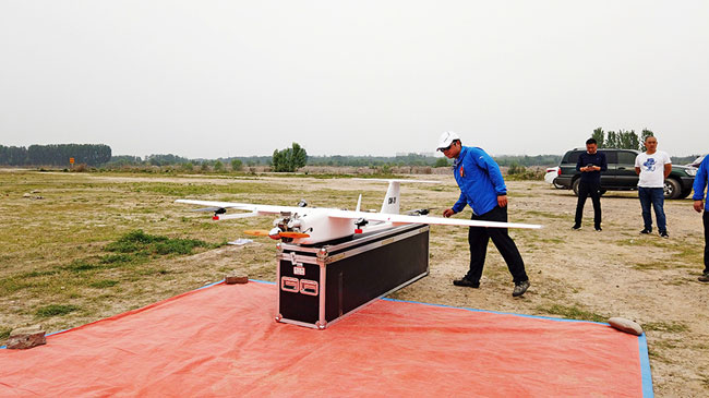
Aerial Survey Using Vertical Takeoff and Landing Oil-Electric Hybrid Fixed-Wing UAV
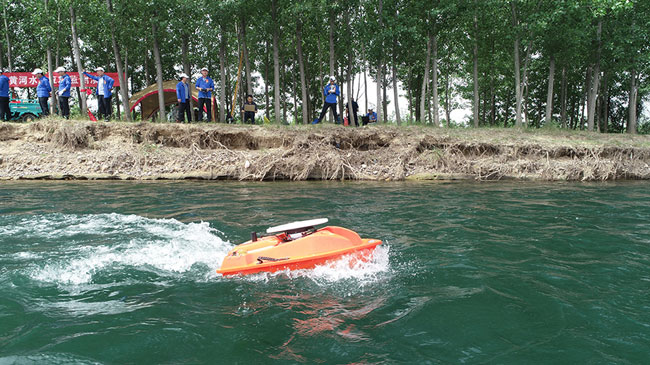
Convenient ADCP remote control ship carries phased array ADCP and GPS compass for flow measurement
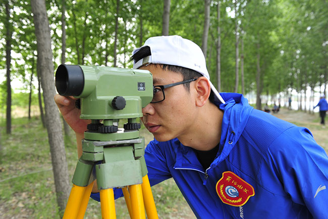
Leveling
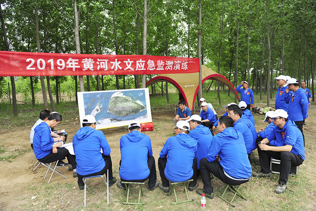
Comments and summaries after the drill